
















Bentley Systems · Civil Design
GEOPAK
Civil design tools for roadway and site projects.
- Core capabilities
- Model, Design
- Disciplines
- Civil
- Training
- By request
- Licensing
- SELECT · Subscription · E365
Overview
What is GEOPAK?
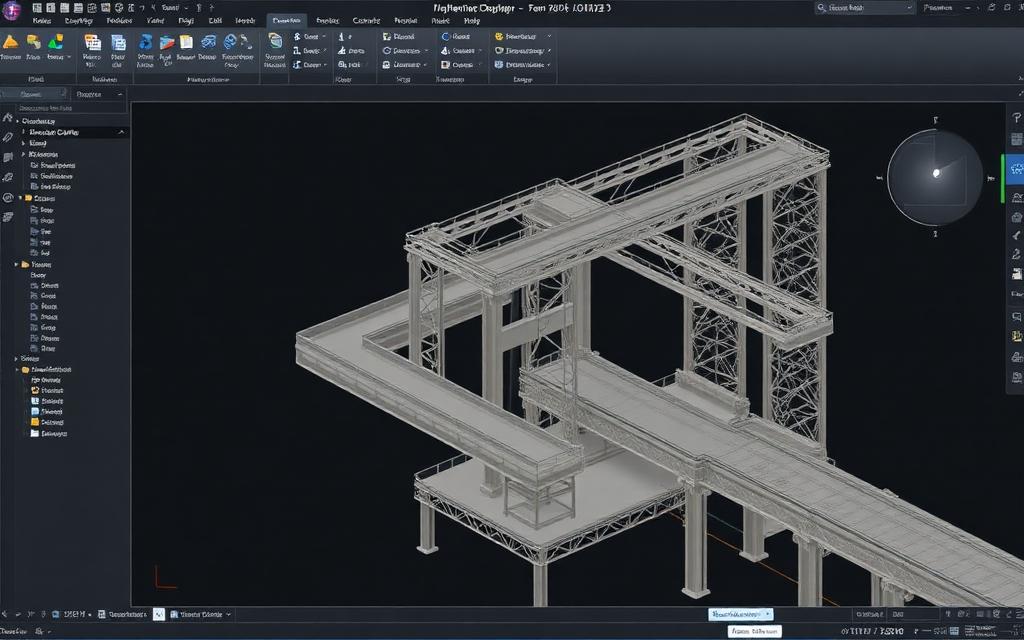
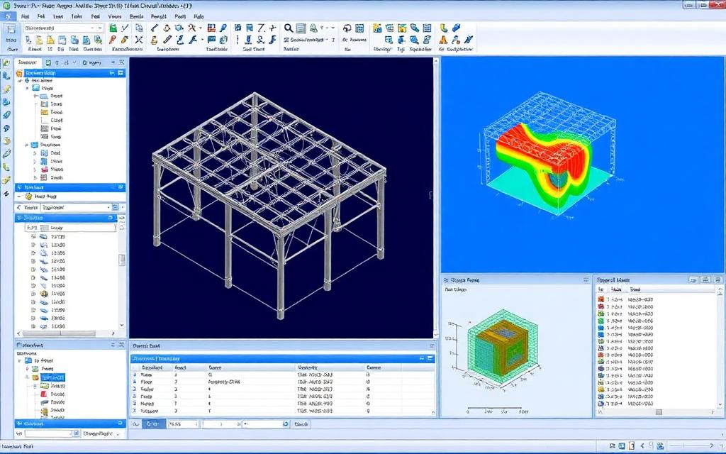
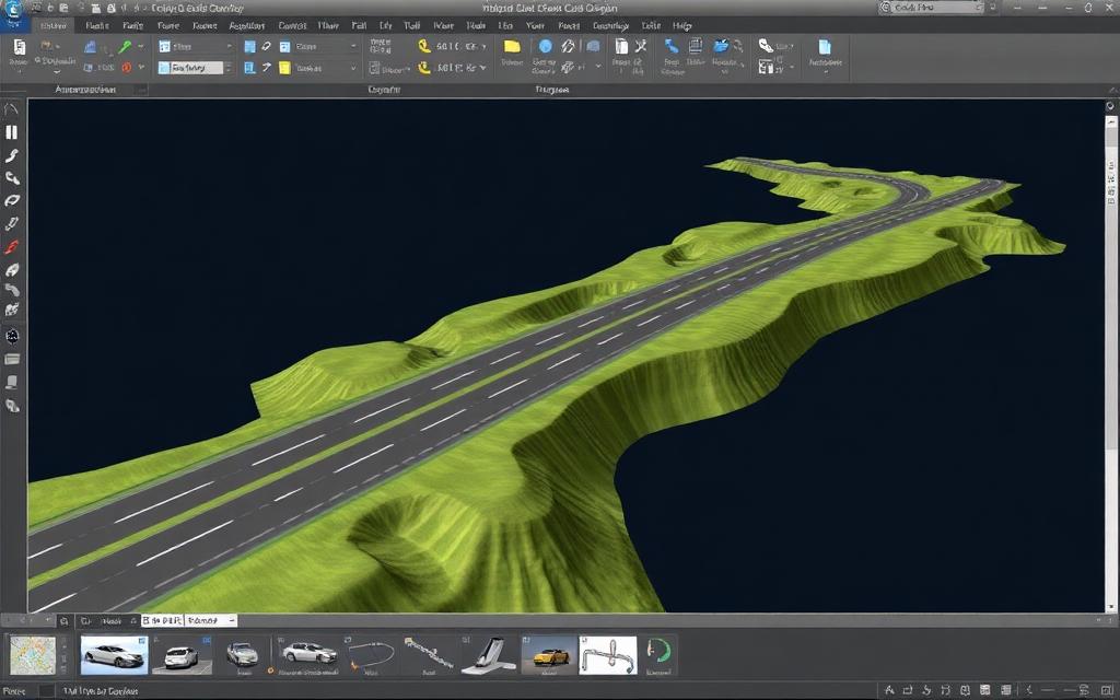
GEOPAK supports roadway and site design workflows used by transportation agencies and civil consultants, integrated with the MicroStation platform.
- Roadway geometry
- Site design
- Survey integration
Capabilities
What GEOPAK does for your team
Model
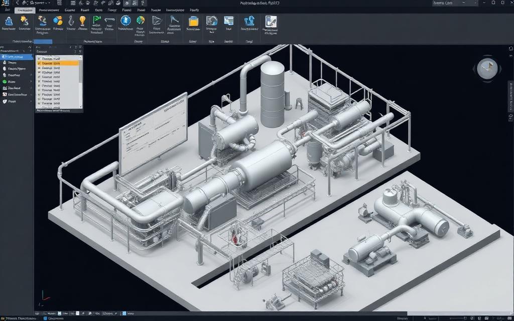
Build precise 2D and 3D engineering models that stay coordinated across disciplines.
Put to work on
Workflow
Where GEOPAK fits in delivery
- 01
Brief & data
Geometry, loads, codes and the decision to support.
- 02
Design
Size members and components and record design intent.
- 03
Deliverables
Results, drawings and reports reviewed by an engineer.
Watch
A walkthrough of real workflows — from model to result — narrated by the engineers who teach it.
Licensing
Three ways to license GEOPAK
Perpetual + SELECT
Own the licence; SELECT adds upgrades, support and flexibility.
Best for: Stable teams
Option 1Term subscription
Annual or monthly seats that scale with project load.
Best for: Variable workloads
Option 2Enterprise (E365)
Portfolio-wide access with consumption-based economics.
Best for: Many applications
Option 3Master GEOPAK
Instructor-led, built around real project workflows — virtual, on-site or hybrid.
- Tailored GEOPAK training is available by request.
Brochures & data sheets
Current vendor documents, sent with an engineer's note on what fits your workflow.
FAQ
GEOPAK, answered
What is GEOPAK used for?
Civil design tools for roadway and site projects. Typical applications include roadway geometry, site design, survey integration.
Which industries use GEOPAK?
GEOPAK is used across many infrastructure sectors; ask us about yours.
How is GEOPAK licensed?
Through perpetual licences with SELECT, term subscriptions, or enterprise access (E365). We model your seat counts and portfolio breadth before recommending one.
Do you offer GEOPAK training?
Yes — instructor-led training for GEOPAK is available by request, tailored to your workflows.
More in Civil Design
View allPut GEOPAK to work
Licensing, implementation and training — scoped by a senior engineer, not a sales rep.