

















OpenRoads · Fundamentals
OpenRoads Fundamentals
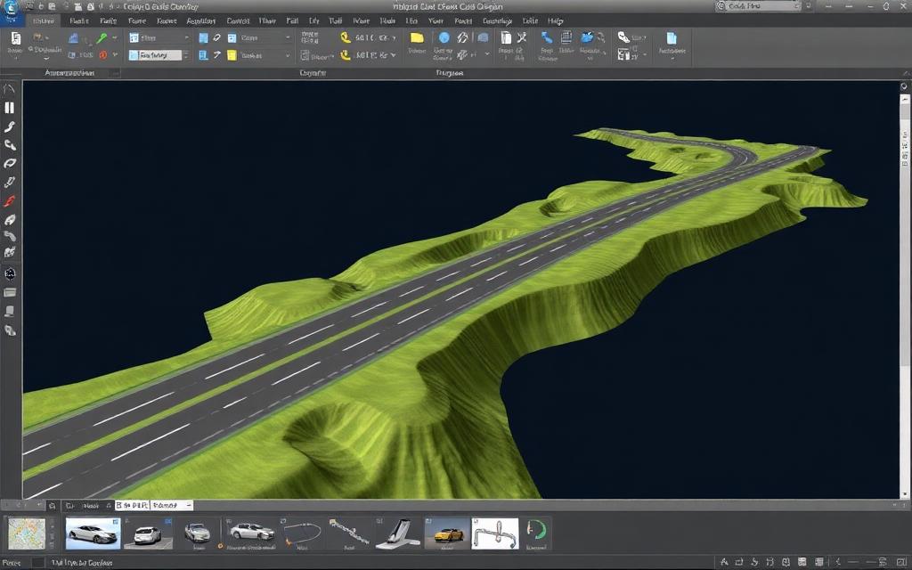
Civil design workflows in OpenRoads: terrain models, horizontal and vertical geometry, corridor modelling and drawing production for roadway projects.
- Duration
- 3 days
- Level
- Fundamentals
- Delivery
- Virtual, on-site or hybrid
- Availability
- Available by request
What you'll be able to do
- Build and work with terrain models from survey data
- Create horizontal and vertical alignments
- Model corridors with templates and understand their behaviour
- Produce cross sections, quantities and plan output
Course outline
- 1
Terrain
Survey import and terrain modelling.
- 2
Geometry
Alignments, profiles and civil geometry rules.
- 3
Corridors
Templates, corridor modelling and targeting.
- 4
Deliverables
Sections, quantities and drawing production.
Related courses
All coursesSTAAD · Fundamentals
STAAD Fundamentals
A practical introduction to structural modelling, analysis and code-based design in STAAD. Participants build and analyze real structure types — frames, trusses and industrial support structures — rather than working through abstract examples.
2 days
STAAD · Advanced
STAAD Advanced Topics
Advanced analysis workflows in STAAD: dynamic and seismic response, non-linear behaviour, stability and the modelling judgement that separates a running model from a correct one.
2 days
MicroStation · Fundamentals
MicroStation Essentials
Core MicroStation skills for infrastructure work: precise 2D drafting, 3D modelling fundamentals, references, and producing consistent drawing output.
2 days